Outdoor Activities in Carlow
Walking & Cycling Tours
Miles of towpaths along the river Barrow for those that like serious walking. Higher up, the lovely Mount Leinster Way offers a challenging adventure, while not so challenging are the rural Kilkenny hills overlooking Carlow and its surrounds.
Walking and cycling are fun ways to enjoy the great outdoors and take in the beautiful scenery of the surrounding countryside. And the good news for those who like to travel this way, is that Carlow has a wonderful variety of facilities, all located in a relatively compact area.
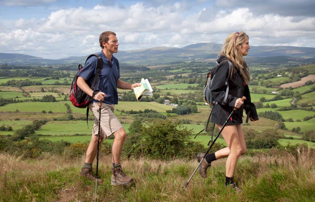
If you’re a serious rambler or just like to stretch your legs and enjoy the view, Carlow is a brilliant destination to explore on foot. Some of Ireland’s most satisfying walks are to be found in Co. Carlow. Home to three of Ireland’s long distance walking routes – The Leinster Way, The Wicklow Way and the Barrow Way – the county is blessed with hundreds of kilometres of excellent and varied walking. Experienced walkers will enjoy the invigorating challenge of Carlow’s way-marked mountain treks, whilst novices will find peace and tranquillity on peaceful riverside, park and country walks. The walks featured here are just a sample of the many available to the visitor to Co. Carlow so feel free to wander at will.
Cyclists are well catered for with Graiguenamanagh Bike Hire who off bike rental and bike tours along the Barrow Way and River Barrow Valley.

The South Leinster Way
A long distance walking route which runs from Kildavin, Co. Carlow to Carrick-on-Suir in Co. Tipperary covering 102 kilometres (64 miles) in length and ascending 1600 metres.
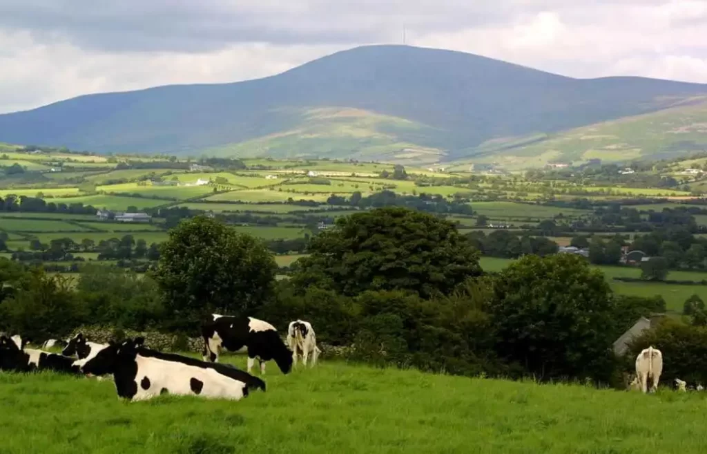
The predominant features in the landscape are Mount Leinster, Brandon Hill and the river valleys of the Barrow, Nore and Suir. This stretch can be comfortably walked in five days but strong walkers can finish it in three days.
STAGE 1: Kildavin – Borris 22km (14 miles). From Kildavin the route passes along forest tracks over the northern slopes of Mount Leinster to reach the town of Borris. The “Nine Stones” vantage point at Mount Leinster offers amazing views of the Barrow Valley and Brandon Hill.
STAGE 2: Borris – Graiguenamanagh 12km (7 ½ miles). This stretch follows the towpath along the River Barrow and is particularly attractive as it passes through rich deciduous woodland and old mills. Graiguenamanagh marks the end of this stage – a quayside, boating town lying in the county of Kilkenny but connected via a bridge over the River Barrow to its twin village of Tinnahinch in Co. Carlow.
STAGE 3: Graiguenamanagh – Inistioge 16km (10 miles). This walk crosses the slopes of Mount Brandon by a series of forest walks before reaching the pretty village of Inistioge. In recent years, Inistioge has also witnessed the development of the film making industry in Ireland. Famous films shot here include Widow’s Peak and Circle of Friends.
STAGE 4: Inistioge – Mullinavat 30km (19 miles). Suitable for the seasoned walker. This section of the way starts along the banks of the River Nore and continues via forest roads over several hills to reach Mullinavat.
STAGE 5: Mullinavat – Carrick-on-Suir 22km (14 miles). This stretch crosses the River Blackwater and passes the village of Piltown en route to the end of the walk in Carrick-on-Suir.

Wicklow Way
This route covers a distance of 132km (81 miles) in length commencing in Marley Park, Dublin and finishing in the beautiful village of Clonegal located in the River Slaney valley in the east of the county. A combination of suburban parkland, forest trails, wild and scenic mountain landscape and finally rolling countryside offers a wonderfully varied, 8 to 10 day experience for a hill-walker of average fitness. Variety in buildings and wildlife is a great characteristic of this route with regular sightings of red deer, silka deer, hares, foxes, squirrels and badgers.
The Slieve Margy Way is located in the north western corner of Co. Carlow and south-eastern corner of Co. Laois and allows the visitor explore some of the most spectacular scenery in Ireland. The route is a circular network of walking tracks through a number of villages, many in close proximity to Co. Carlow including Graiguecullen, Maganey, Arles, Wolfhill and The Swan. Passing along the banks of the Barrow river, the Slieve Margy Way then takes to the hills rising over 1,000 feet to the top of the Castlecomer Plateau to join the Swan Loop. The Way has been designed to allow walkers join it at any point and walk in either direction. Full map available from Carlow Tourist Office on 059-9131554.

The Barrow Way
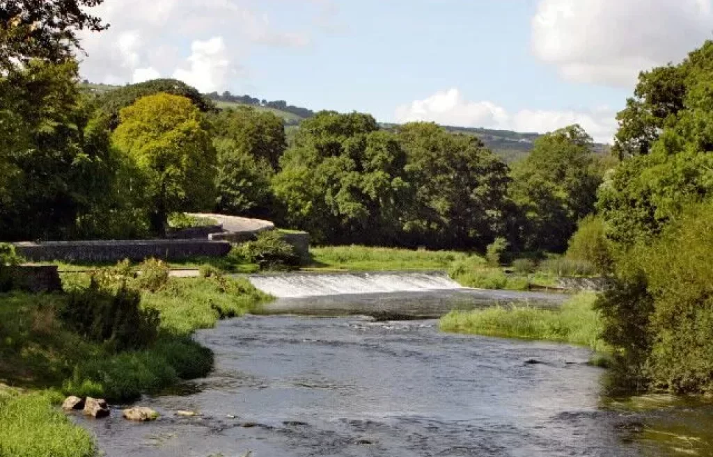
The Barrow Way follows the towpath, originally a path alongside the River Barrow to allow the pulling of barges or boats for transport. The ground is level throughout passing good farmland where tillage and cattle farming is predominant. The path offers much of architectural interest to the visitor – bridges, many arched, and pretty lock houses, some still in use. Many interesting historical features are located in close proximity to the river including castles, abbeys, old bridges and derelict mills.
The full length of the Barrow Way from Lowtown to St. Mullins is 113 kilometres (70 miles). Alternatively, the route can be easily explored by taking short sections of the walk in a series of daily trips. Accommodation is available from 3 to 19 kilometres and varies from hotels to self-catering and bed & breakfasts. Most accommodation providers are delighted to transport you to and from your starting and finishing points. Towns offer a full range of services while villages have good facilities that are designed to meet the needs of the walker.
STAGE 1 of the Barrow Way starts in Lowtown and a distance of 23 km (14 miles) takes you to the town of Monasterevin. The raised banks of the canal offer beautiful vistas of the surrounding countryside with views of the Hill of Allen and the Wicklow Mountains.
STAGE 2 covers the stretch from Monasterevin to Athy – 23km (14 miles). This stretch offers the visitor much of architectural interest with many old bridges and houses.
STAGE 3 runs from Athy to Carlow – 19km (12 miles). This is the first of four stretches which pass through the county of Carlow. Starting from the heritage town of Athy, the route passes many interesting lifting bridges and old mills before reaching Carlow town.
STAGE 4 - Carlow to Bagenalstown – 16km (10 miles). Milford, approximately 7 km south of Carlow is one of the most attractive stretches along the River Barrow. Set in an idyllic location with three bridges, mill buildings and a large wooded area it is famous as an aquatic triangle with regular spottings of herons and kingfishers. This stretch of walk is rich with historical buildings and castles including the Black Castle at Leighlinbridge and the many architectural gems in the town of Bagenalstown, where thiswalk ends.
STAGE 5 takes the walker from Bagenalstown to Graiguenamanagh – 26km (16 miles). This route passes the small villages of Goresbridge and Borris before ending in Graiguenamanagh, a picturesque abbey town and a popular boating and craft centre. Overlooking the River Barrow is Duiske Abbey founded by Norman monks from Stanley Abbey, Wiltshire in 1204. The “Early English” design boasts a lofty nave and it is the largest of Irish Cistercian monastery churches.
STAGE 6 Graiguenamanagh to St. Mullins – 6km (4 miles). This stretch has beautiful woodland surroundings with a strong ecclesiastical theme in the religious settlement at St. Mullins. The complex includes a medieval church ruin, the base of a round tower and the former Church of Ireland church, built in 1811, which now hosts a heritage centre. The lower settlement is set on a glorious stretch of the Barrow Valley and includes a picnic area.
Find Us
Green Lane, Dublin Road
Carlow Town, Co. Carlow
R93 NT26
Opening Hours
BnB: 07:00 - 22:00
Breakfast: 07:00 - 10:00
Lounge : 07:00 - 22:00
- Avlon House BnB Carlow

